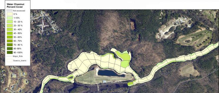
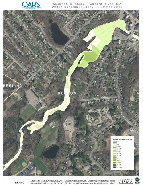
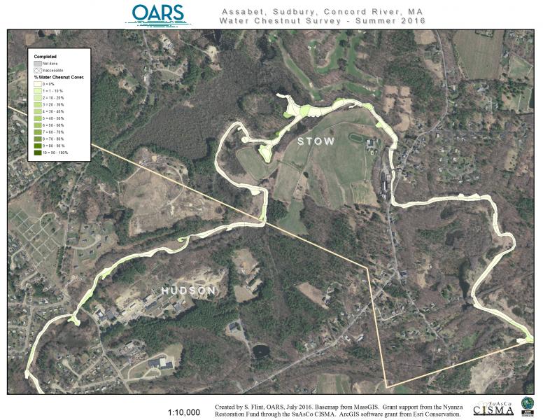
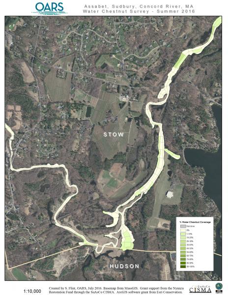
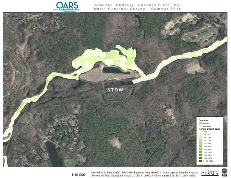
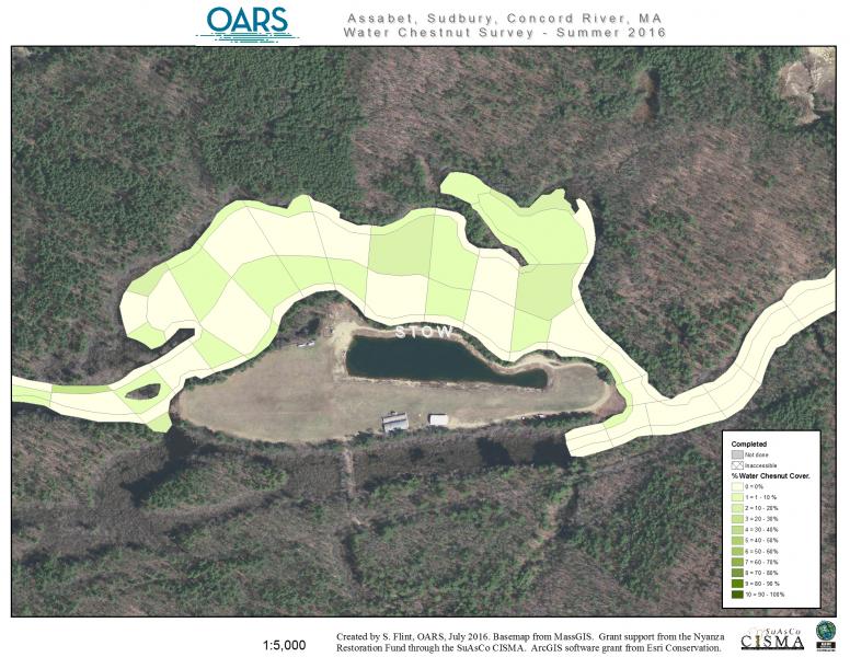
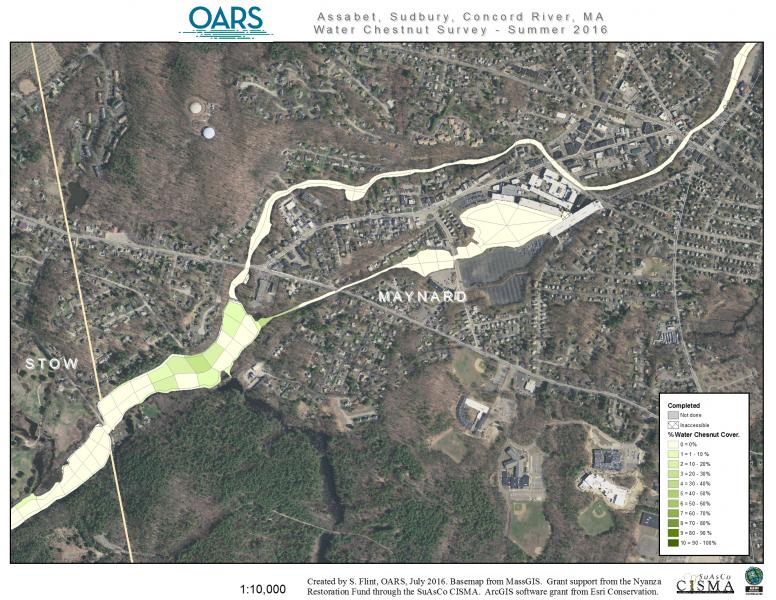
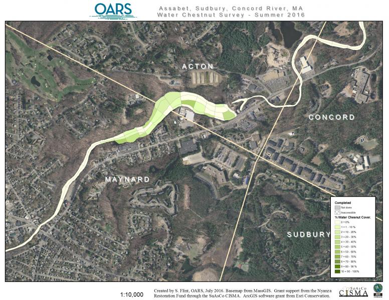
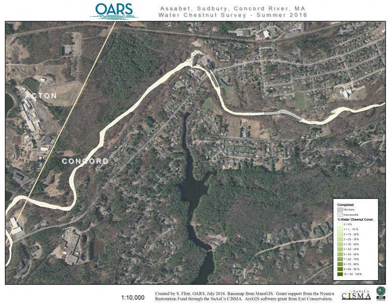
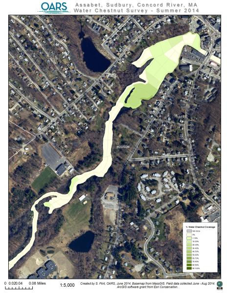
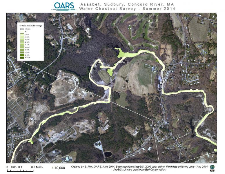
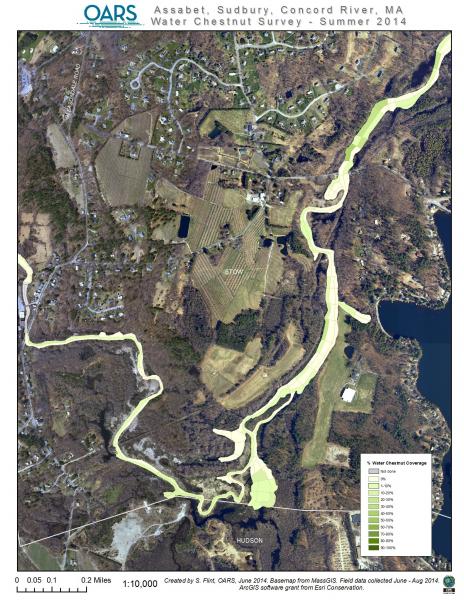
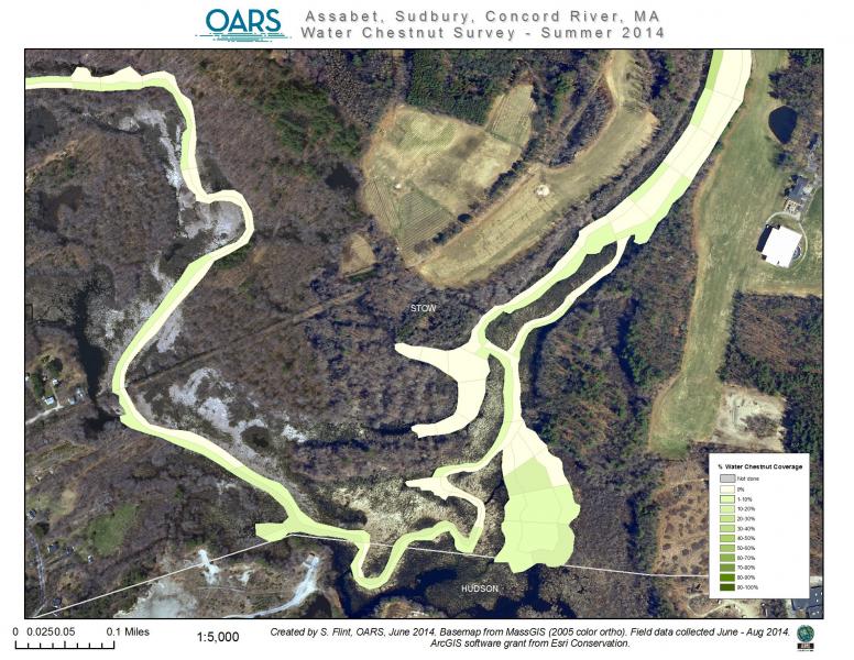
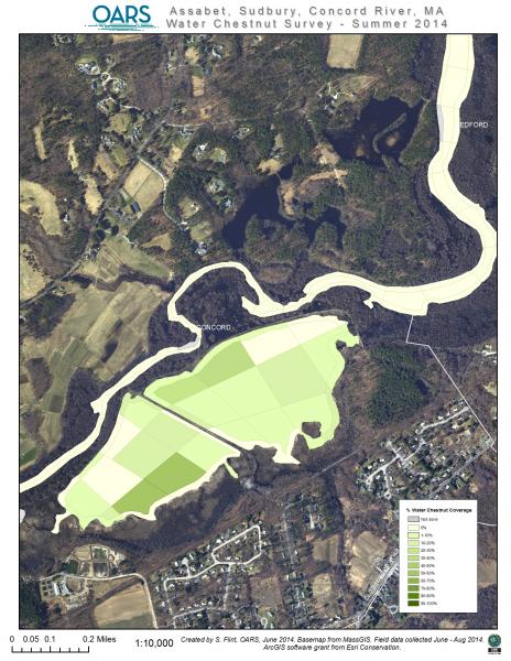
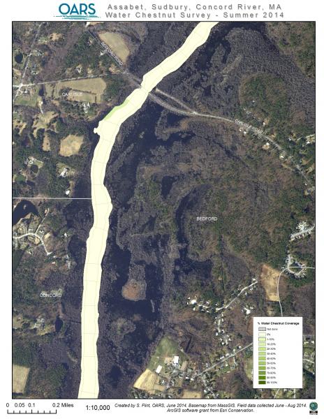
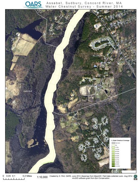
The following survey maps show the density of water chestnut on the Sudbury, Assabet, and Concord rivers from surveys done in 2013, 2014, and 2016. These surveys were supported with Nyanza Natural Resource Damages (NRD) Fund.
In 2013, CISMA coordinated the first comprehensive assessment of water chestnut infestations throughout the Sudbury, Assabet, and Concord rivers, as well as approximately 130 acres of ponds in the Hop Brook Watershed. OARS, selected by the CISMA Steering Committee to lead the effort, surveyed more than 2,100 acres of river habitat between June and August using GPS-enabled GIS technology to map infestation locations, patch sizes, and patch densities. OARS staff worked with Mass Audubon to adapt and expand the GPS/GIS data collection system originally developed in 2012. In 2017, CISMA adopted the Water Chestnut Management Guidance & Five-Year Management Plan for the Sudbury, Assabet, and Concord River Watershed, developed by OARS with support from the Nyanza Natural Resource Damages Fund. The Water Chestnut Subcommittee formed through this effort later evolved into today’s Aquatic Invasive Management Subcommittee (AIMS).
This project provided the first watershed-wide picture of water chestnut distribution and established the foundation for coordinated management across the SuAsCo watershed. Today, OARS has built on that work with the Water Chestnut Reporting App, which allows volunteers, municipalities, and partner organizations to report new infestations and view existing records in real time. The app provides a much more efficient way to track the spread of water chestnut, identify priority areas for management, and coordinate removal efforts across the watershed.
Water Chestnut Surveys – June to August 2016
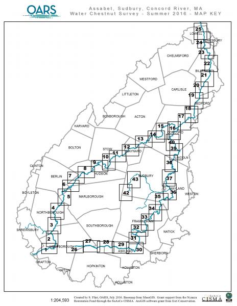
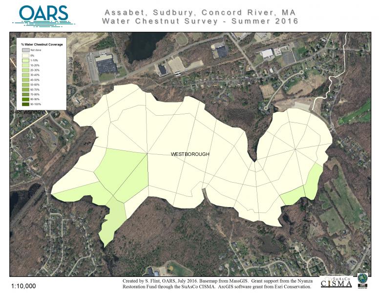
- 01-Assabet River, Westborough Impoundment
- 02-Assabet River, Downtown Westborough
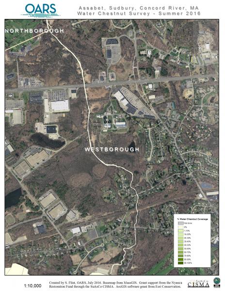
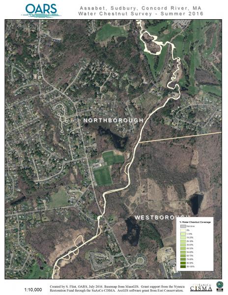
- Assabet River, Westborough/Northborough line
- 04-Assabet River, Northborough
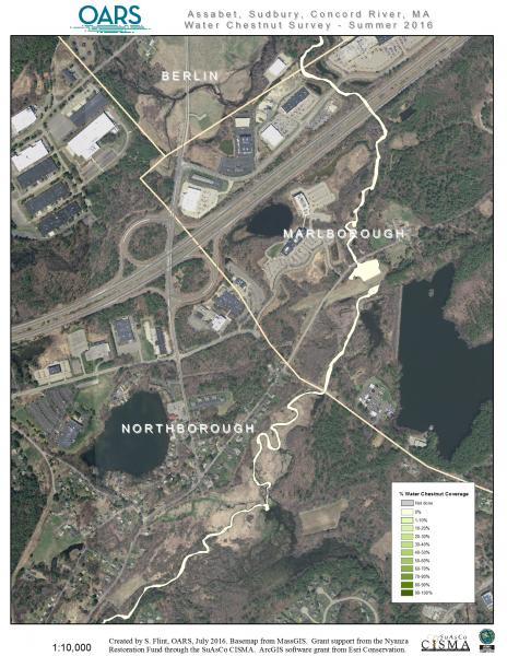
- 05-Assabet River, Northborough/Marlborough to I-290 overpass
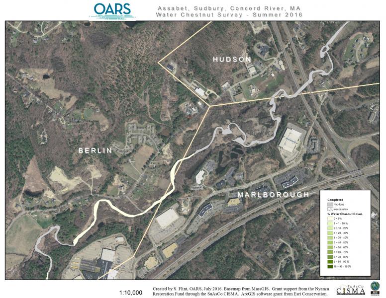
- 06-Assabet River, Marlborough/Berlin/Hudson to I-495 overpass
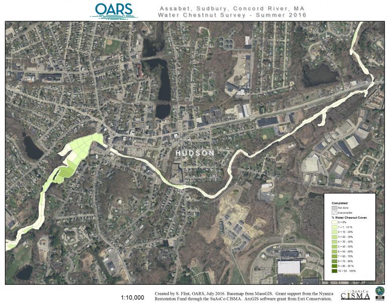
- 07-Assabet River, west side of Hudson
- 08-Assabet River, downtown Hudson
- 08L-Assabet River, Hudson Dam Impoundment closeup
- 09-Assabet River, Hudson/Stow line
- 09L-Assabet River, Hudson/Stow Gleasondale Dam Impoundment closeup
- 10-Assabet River, Stow, Boone Lake area
- 10L-Assabet River, Stow, Collings Foundation area closeup
- 11-Assabet River, Stow, Crowe Island area
- 11L-Assabet River, Stow, Crowe Island closeup
- 12-Assabet River, Maynard, Ben Smith Dam Impoundment and Maynard Mill ponds
- 13-Assabet River, Maynard/Acton/Concord, Powdermill Dam Impoundment
- 14-Assabet River, West Concord, Damonmill area
- 15-Assabet River, Concord, Rt 2 overpass area
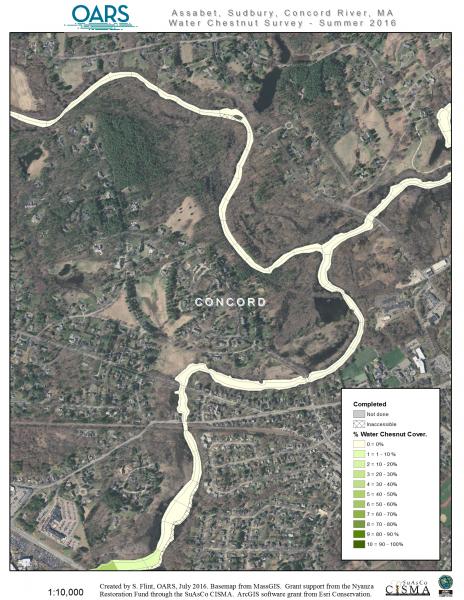
- 16-Assabet River, Concord, Assabet – Sudbury Rivers junction




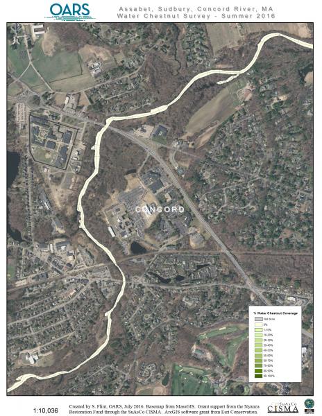
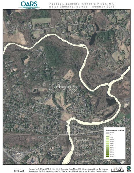
- 17-Concord River, Concord, north of town
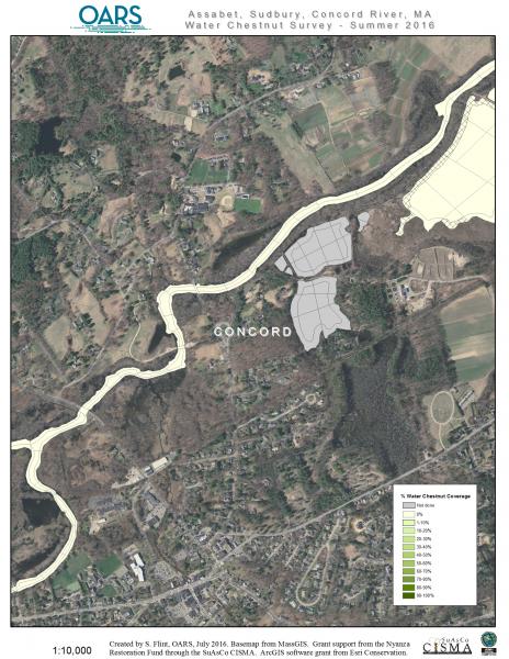
- 18-Concord River, Concord, Great Meadows NWR area
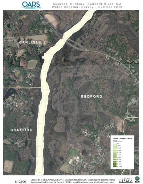
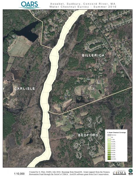
- 19-Concord River, Concord/Bedford/Carlisle lines
- 20-Concord River, Bedford/Billerica/Carlisle lines
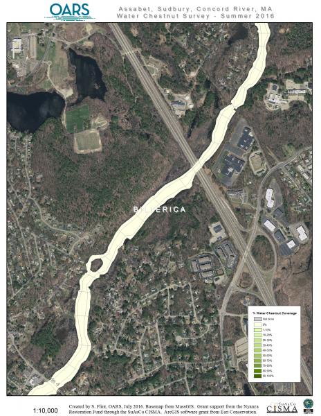
- 21-Concord River, Billerica, Rt. 3 overpass area
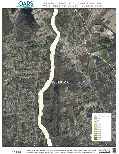
- 22-Concord River, Billerica 1
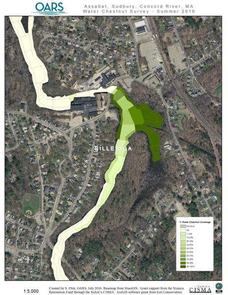
- 23- Concord River, Billerica 2
- 23L-Concord River, Billerica impoundment closeup
- 23B-Concord River, Billerica/Chelmsford/Lowell lines
- 24-Concord River, Lowell


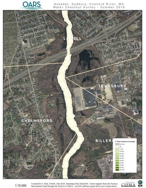
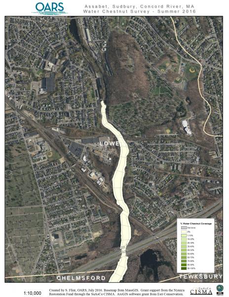
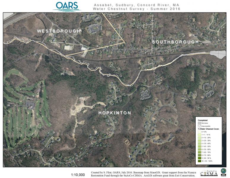
- 25-Sudbury River, Westborough, river’s source
- 26-Sudbury River, Westborough/Southborough/Hopkinton lines
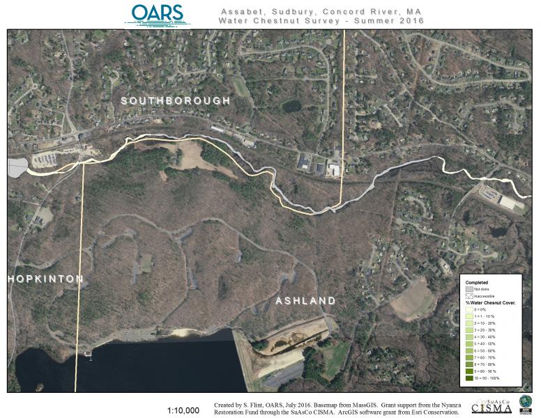
- 27-Sudbury River, Southborough/Ashland line
- 28-Sudbury River, Ashland dam impoundment
- 29-Sudbury River, Ashland to Framingham line
- 30-Sudbury River, Framingham impoundments
- 31-Sudbury River, Framingham
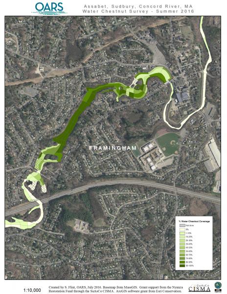
- 32-Sudbury River, Framingham, Rt. 9 to Mass Pike
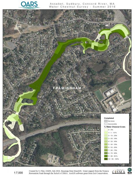
- 33-Sudbury River, Framingham-Saxonville
- 33L-Sudbury River, Framingham-Saxonville closup
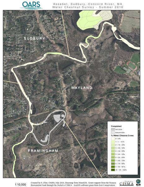
- 34-Sudbury River, Wayland/Framingham/Sudbury
- 35-Sudbury River, Wayland, HeardPond
- 35L-Sudbury River, Wayland, HeardPond closeup
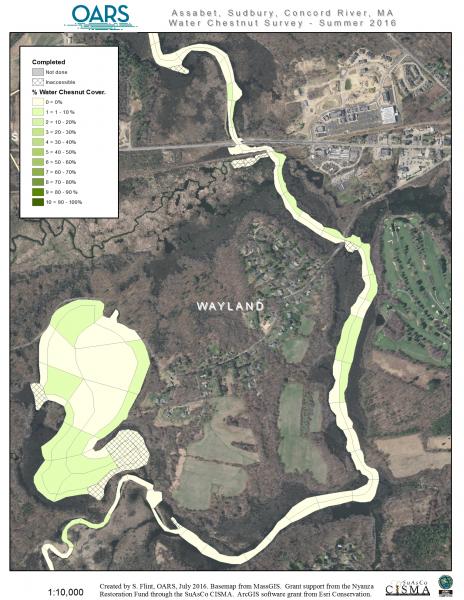
- 36-Sudbury River, Sudbury/Wayland, south
- 37-Sudbury River, Sudbury/Wayland, north
- 38-Sudbury River, Lincoln/Concord
- 39-Sudbury River, Concord, to Rt. 2 overpass
- 40-Sudbury River, Concord, Sudbury and Assabet Rivers junction


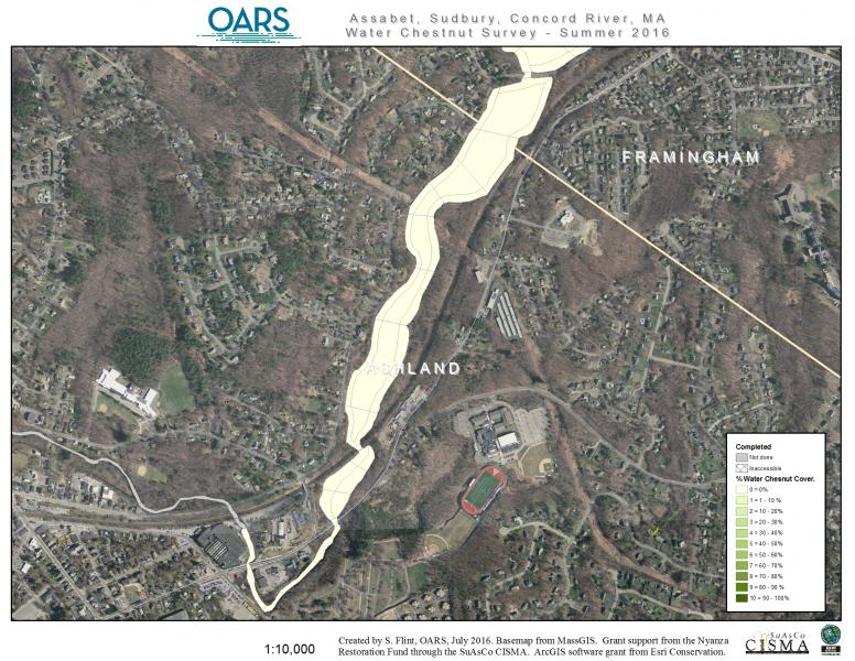
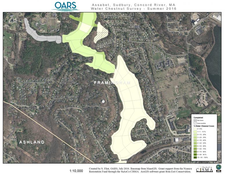
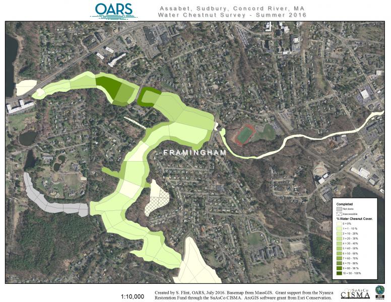
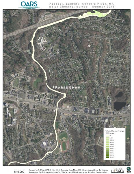
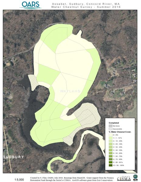
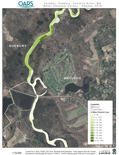
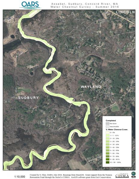
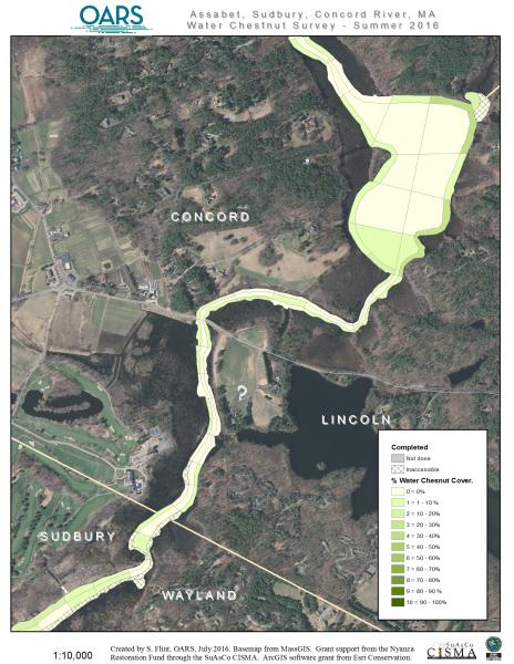

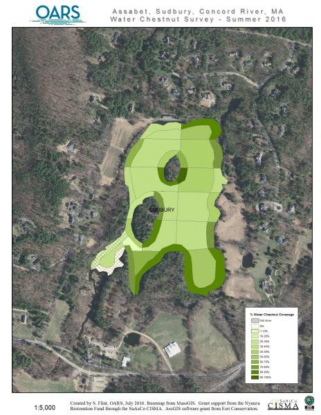
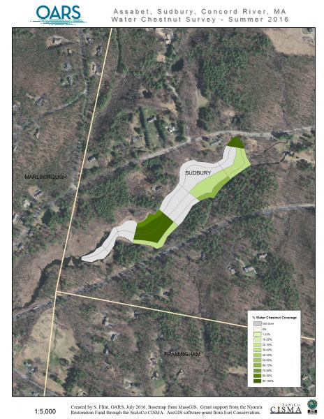
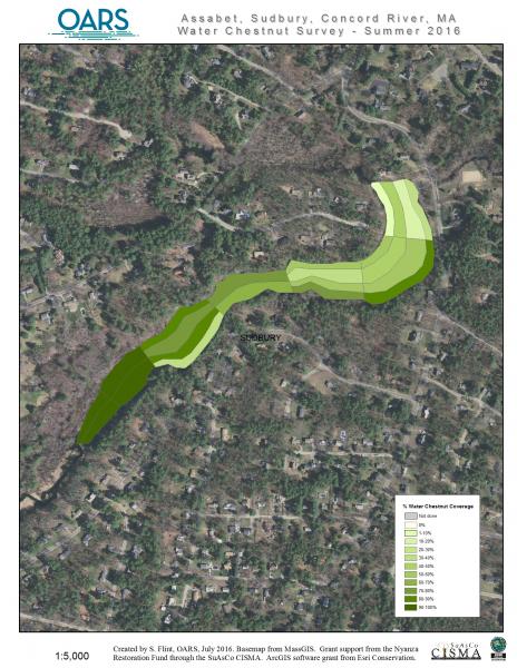
- 41-Hop Brook Ponds, Sudbury, Stearns Mill, Grist Mill and Carding Ponds
- 41L-Hop Brook Ponds, Sudbury, Carding Pond
- 42L-Hop Brook Ponds, Sudbury, Grist Mill Pond
- 42L-Hop Brook Ponds, Sudbury, Stearns Mill Pond
- 2016 Map Key

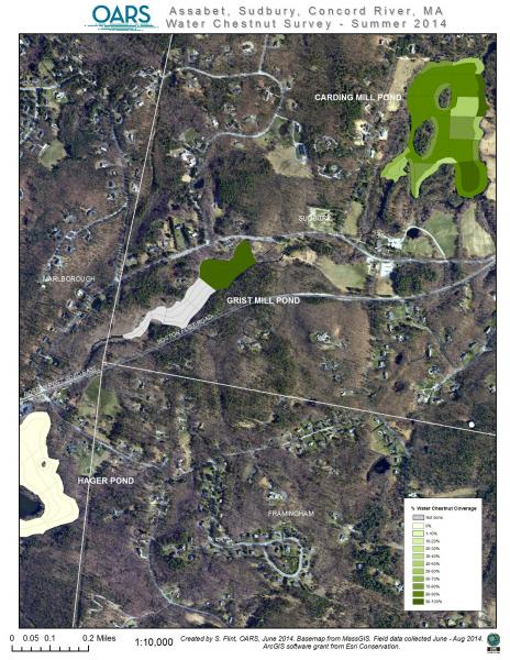
Water Chestnut Surveys – June to August 2014
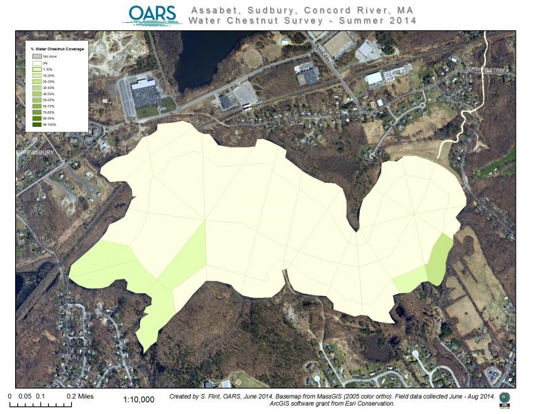
- Assabet River, Westborough Impoundment
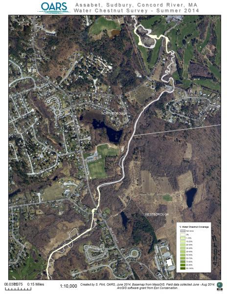
- Assabet River, Downtown Westborough
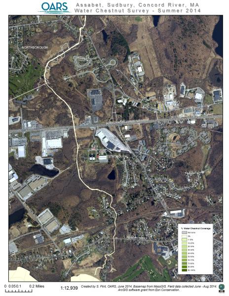
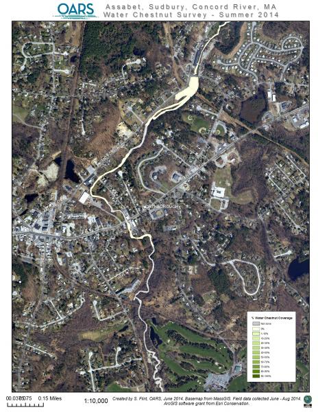
- Assabet River, Westborough/Northborough line
- Assabet River, Downtown Northborough
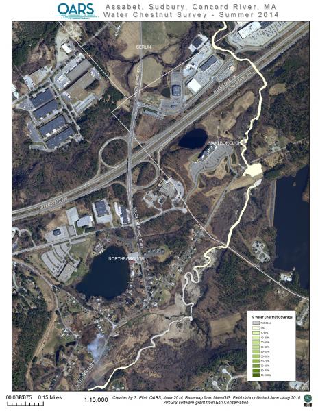
- Assabet River, Northborough/Marlborough to I-290 underpass
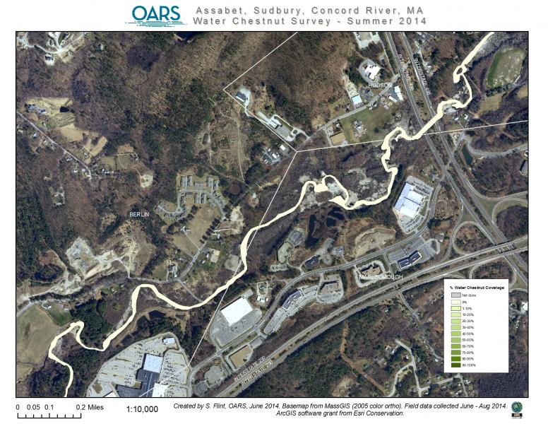
- Assabet River, Marlborough/Hudson to I-495 underpass
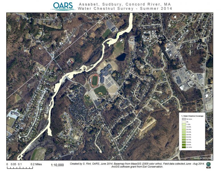
- Assabet River, West Side of Hudson
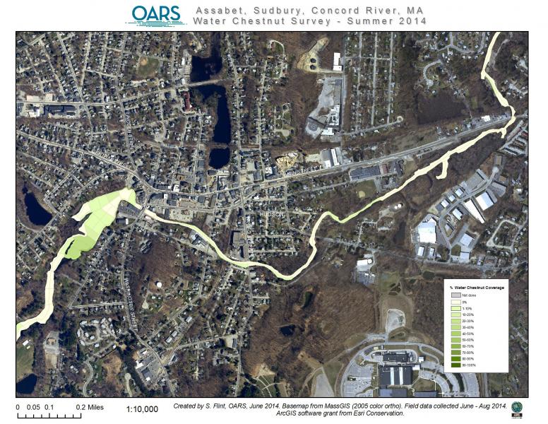
- Assabet River, Dam and Downtown Hudson
- Assabet River, Hudson Dam Impoundment enlargement
- Assabet River, Hudson/Stow line
- Assabet River, Hudson/Stow-Gleasondale Dam Impoundment
- Assabet River, Stow, Boone Lake area
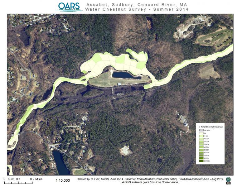
- Assabet River, Stow, Collings Foundation area enlargement
- Assabet River, Stow, Crowe Island area
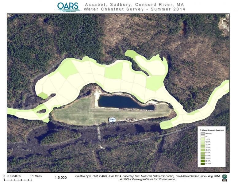
- Assabet River, Stow, Crowe Island area closeup
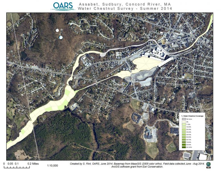
- Assabet River, Downtown Maynard & Ben Smith Dam Impoundment
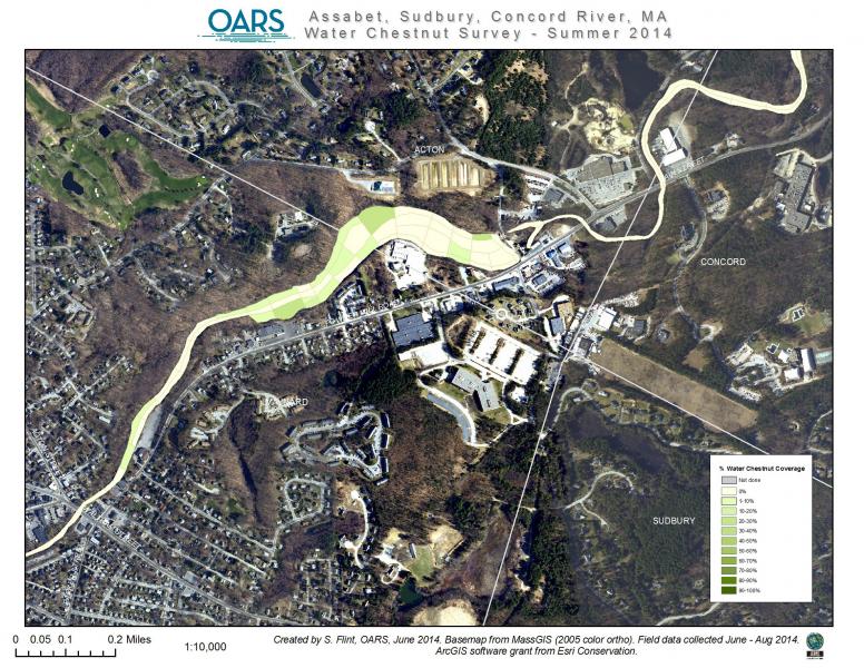
- Assabet River, Maynard/Acton/Concord with Powdermill Dam Impoundment
- Assabet River, W. Concord, Damonmill area
- Assabet River, Concord, Rt. 2 overpass area
- Assabet River, Concord, Assabet – Sudbury Rivers junction

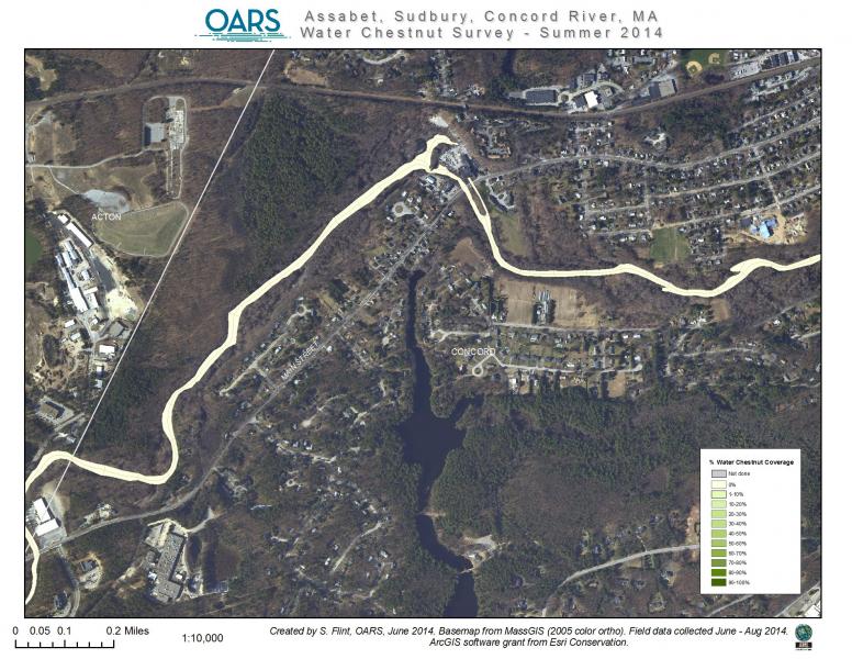
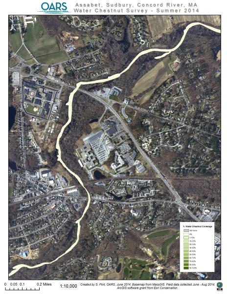
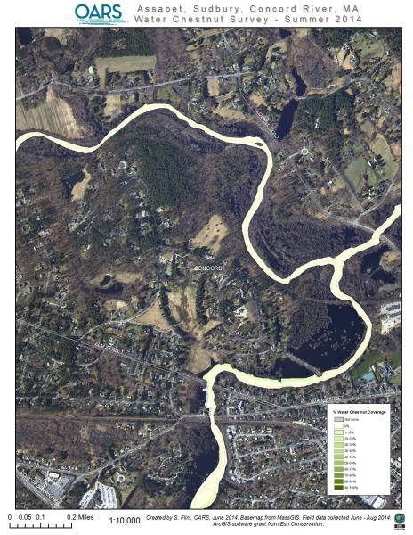
- Concord River, North of Concord Downtown
- Concord River, Concord, Great Meadows NWR area
- Concord River, Concord/Carlisle with Bedford across river
- Concord River, Bedford/Billerica line
- Concord River, Billerica, Rt. 3 overpass area
- Concord River, Billerica, Boston Rd overpass area
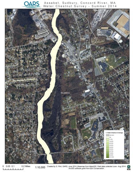
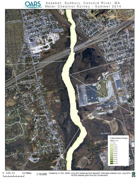
- Concord River, Billerica/Lowell line & I-495 overpass
- Concord River, Billerica, north side
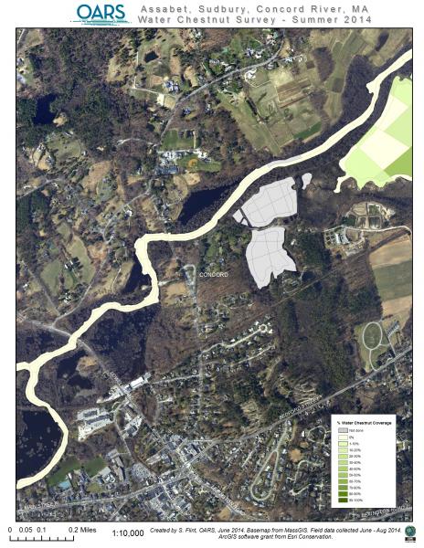
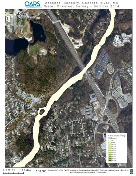
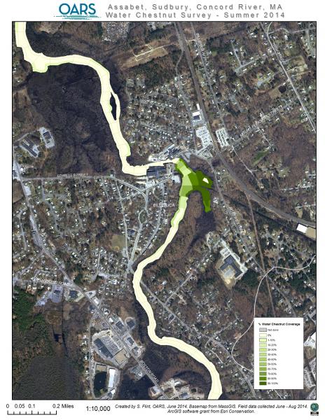
- Sudbury River, Westborough, Source to I-495/MassPike junction
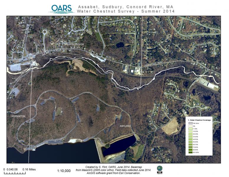
- Sudbury River, Westborough/Southborough/Hopkinton lines
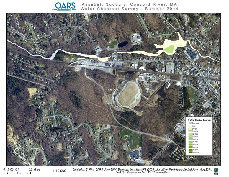
- Sudbury River, Southborough/Ashland line
- Sudbury River, Ashland dam impoundment
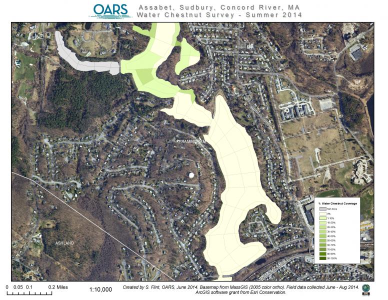
- Sudbury River, Ashland to Framingham line
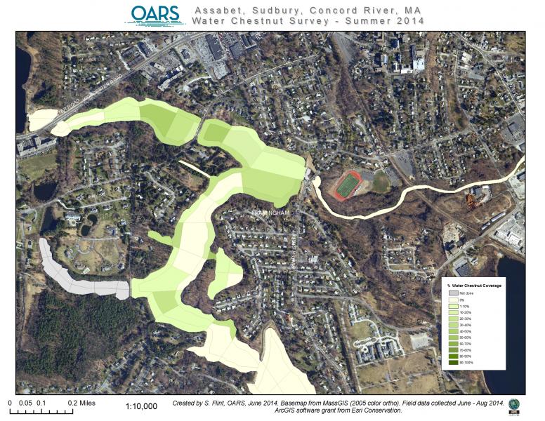
- Sudbury River, Framingham Impoundments
- Sudbury River, Framingham
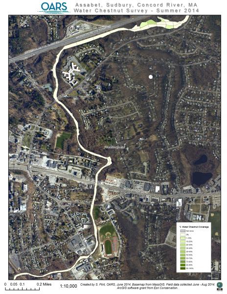
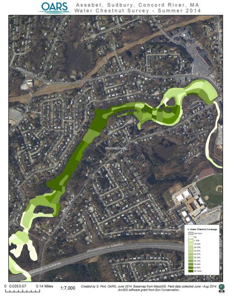
- Sudbury River, Framingham, Rt. 9 to Mass Pike
- Sudbury River, Framingham-Saxonville closeup
- Sudbury River, Framingham-Saxonville
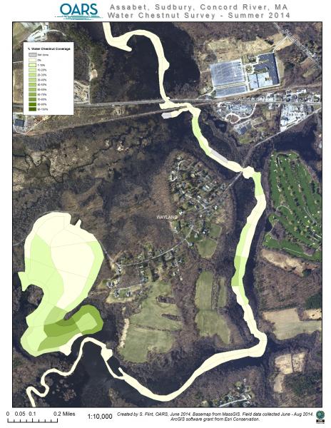
- Sudbury River, Wayland, north to Heard Pond
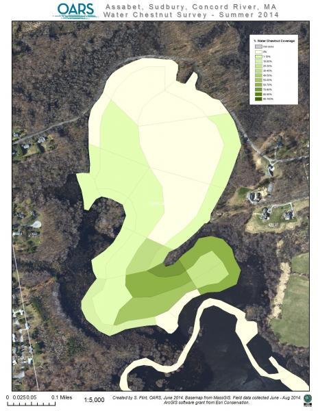
- Sudbury River, Wayland, Heard Pond closeup
- Sudbury River, Wayland, Heard Pond to Rt. 117
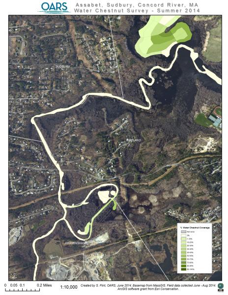
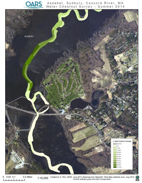
- Sudbury River, Sudbury and Wayland
- Sudbury River, Sudbury, Great Meadows NWR area
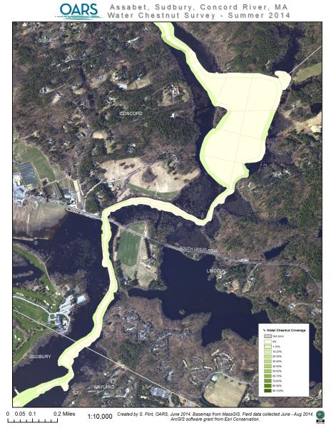
- Sudbury River, Sudbury/Lincoln/Concord lines
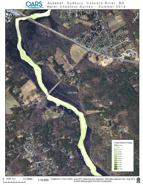
- Sudbury River, Concord, north to Rt. 2 overpass
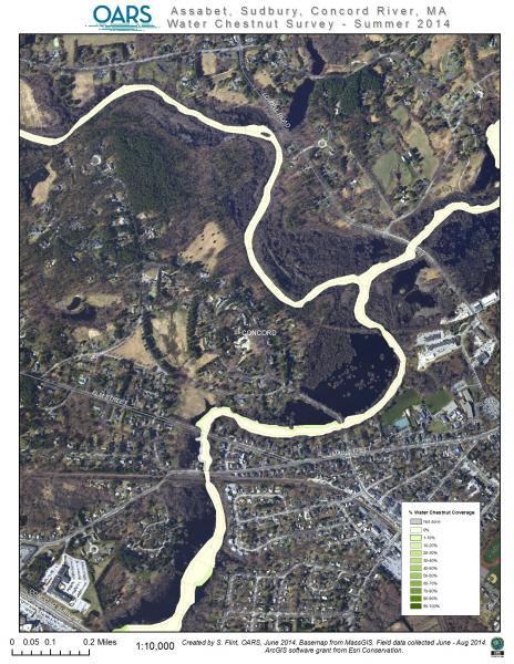
- Sudbury River, Concord, north to Assabet River junction





- HopBrookPonds, Hager, Grist Mill and Carding Ponds
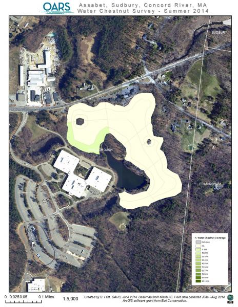
- HopBrookPonds, Sudbury, Carding Mill Pond closeup
- HopBrookPonds, Marlborough, Hager Pond closeup
- HopBrookPonds, Sudbury, Sterns Mill Pond
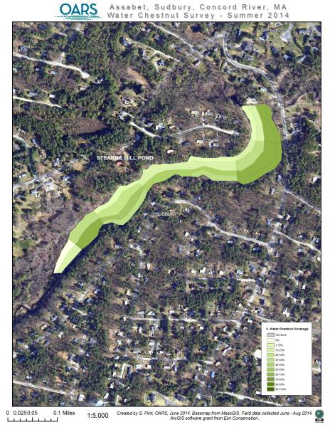
- HopBrookPonds, Sudbury, Stearns Mill Pond closeup
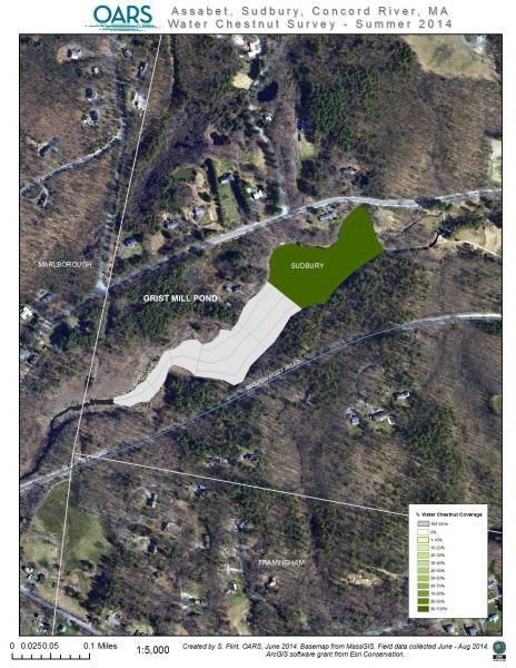
- HopBrookPonds, Sudbury, Grist Mill Pond closeup


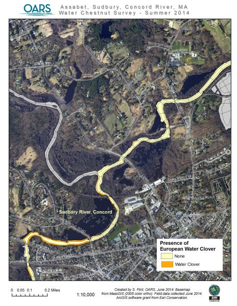
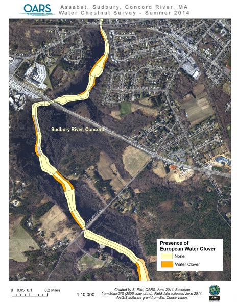
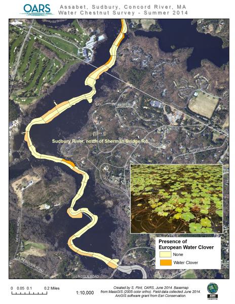
Water Clover Surveys – June to August 2014
- Sudbury River, Fairhaven Bay, Lincoln
- Sudbury River, Lowell Rd area, Concord
- Sudbury River, Rt. 2 area, Concord
- Sudbury River, Sherman Bridge area

Water Chestnut Surveys – June & July 2013
- Assabet River, West side of Hudson to dam
- Assabet River, East side of Hudson below dam
- Assabet River, Hudson – Stow border area
- Assabet River, Stow wide view
- Assabet River, Stow – Gleasondale Impoundment
- Assabet River, Stow with closeup of Gleasondale Impoundment
- Assabet River, Stow at east-central area
- Assabet River, Stow with closeup of Crowe Island area
- Assabet River, Stow – Maynard, Impoundment behind Ben Smith Dam
- Assabet River, Stow line and Maynard Center
- Assabet River, East Side of Maynard to Impoundment at Powdermill Dam, Acton
- Assabet River, West Concord


- Concord River and NFW Great Meadows Impoundments
- Concord River, Carlisle and Bedford
- Concord River, Billerica, south of Rt. 3
- Concord River, Billerica, north of Rt. 3
- Concord River, Billerica, north of Rt. 3A
- Concord River, North Billerica Impoundment
- Concord River, South Lowell ( I495 area)


- Sudbury River, Sudbury, Hop Brook and Carding Mill Pond
- Sudbury River, Sudbury, Hop Brook and Stearns Mill Pond
- Sudbury River, Saxonville, Framingham
- Sudbury River, Wayland at Heard Pond
- Sudbury River, Wayland and Sudbury
- Sudbury River, Sudbury (Great Meadows NWR area)
- Sudbury River, Subbury and Lincoln
- Sudbury River, Lincoln at Fairhaven Bay


