Maps are a critical to an understanding of the SuAsCo watershed and the locations of invasive species.
Watershed Maps
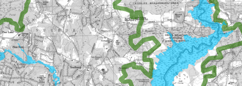
Watershed map showing town boundaries (Black and White) (PDF – 2.7 MB)
Priority Areas within the Watershed (Color PDF – 30.7 MB)
Priority Areas within the Watershed (B&W JPG – 58 KB)
Localized Species Maps
Mass Audubon’s Ecological Extension Service completed a detailed inventory of invasive species on the Assabet River National Wildlife Refuge (ARNWR), encompassing 2,200-acres. The work resulted in the following maps which are directly informing management decisions. Maps for specific invasive species:
Autumn Olive at Drumlin Farm – This map shows sample data from work completed at Mass Audubon’s Drumlin Farm Wildlife Sanctuary. The Sudbury Foundation supported the development of a GPS-based mapping tool and a website to display information collected by CISMA partner staff and volunteers.